Web services With over 15 years of our satellite footprints journey we have developed our skills with Google Maps API, OpenStreetMaps and custom tiles to browse satellite footprints and check the service coverage around the Globe. We have also developed a number of tools for our customers providing their clients with the top industry experience in this area. One of the latest works is Satellite fleet visualisation for ABS satellites: 
Another example is Sun Interference Calculator for Koreasat: 
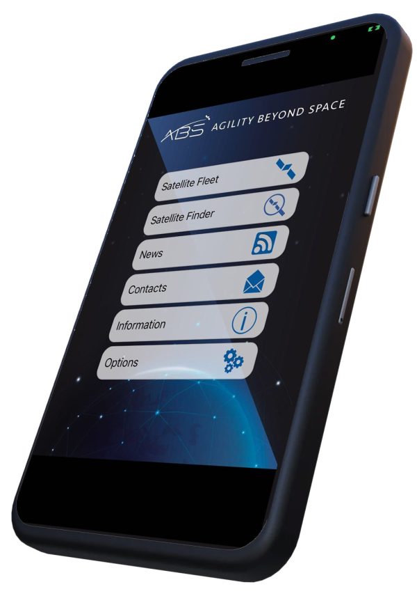
Mobile Application Development Services As we specialise on Satellite Footprints we provide a broad number of software related services in the mobile apps area. Our leading software product is Satbeams mobile application. We also offer custom software solutions to our clients basing on our experience in this area. Here is a mobile application that we have developed for ABS Satellites: 
Data Services Over the past few years we have collected a lot of data about the SatCom coverage all over the world. We keep this data in KML format and our database has grown over 5000 files. We license raw KML data to our customers as well as provide multiple tools to work with it. We can also export data to other formats as well as provide hi-resolution images of satellite coverage. We have built many tools to report on the data and visualise the results. For example with our SatClipper tool we can provide reporting on what Bands/Operators/OrbitalPositions/Satellites and Beams cover specific Country, Region or any custom area of our planet with a few mouse clicks. As a result our customers can analyse and visualise the SatCom service availability in any Band and Region to provide fact-based information for decision making. Another tool is SatFlight that analyses FlightRadar24 KML route files. The tool allows to identify all the beams that cover specific flight (or several flights) and even identify the best beams to cover the entire service area of specific airline. 
We can develop any custom tools to address our customer's needs! Consulting Services In addition to Satellite footprints we have a lot of data including the satellite frequency plans and beams utilisation. 
If you want run your own satellite network or plan to expand your satellite services we can help you with this exercise and link you with appropriate SatCom providers. Feel free to contact us if you have questions.
|